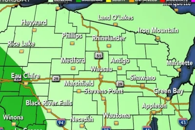
Multiple rounds of rain and potential storms are targeting southeast Wisconsin on Friday, June 5, 2026, delivering much-needed precipitation alongside a minor threat of severe weather.
Local meteorologists reported that the system will move across the region in two distinct waves throughout the day.
>>> Karen Read Files Lawsuit Against Massachusetts Law Enforcement
First Wave Brings Beneficial Rain
The initial round of beneficial rainfall is spreading across southeast Wisconsin from 5 a. m.
until noon, according to regional forecasts.
Severe weather conditions are not expected during this morning period, as the system primarily brings steady, helpful rain to the area.
A temporary break in the precipitation is anticipated for a large portion of the afternoon hours.
Depending on afternoon clearing and subsequent solar heating, a second wave of rain and storms is projected to impact parts of southeast Wisconsin between 6 p.
m. and midnight.
The overall risk for severe weather during the evening wave remains low, classified as a level 1 out of 5 threat.
>>> Peter Hitchens Sparks Heated Debate Over E-Bike Regulations in London
Weather tracking indicates that a few isolated storm cells could develop, potentially producing strong wind gusts and hail.
Conditions will improve significantly ahead of the weekend, despite a minor chance for an early morning shower on Saturday.
The rest of Saturday will feature quieter and sunnier weather with high temperatures reaching the lower 80s.
By Sunday, the region will experience optimal weather conditions marked by slightly cooler and less humid air.
This shift is driven by a northeasterly wind flow blowing off Lake Michigan.
Humid conditions and much higher heat are scheduled to return to the area early next week.
>>> Study Finds Widespread PFAS Pesticide Contamination in California Waterways
Regional trackers are monitoring additional storm chances for Monday and Tuesday before a major warm-up takes over the forecast, pushing Thursday temperatures close to 90 degrees.