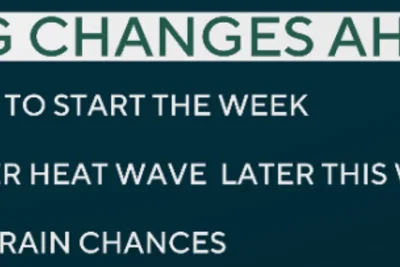
A shifting atmospheric pattern will bring a return of humid air, rain showers, and potential thunderstorms across portions of Wisconsin, Minnesota, and Iowa on Thursday, June 4, 2026.
This change comes as a jet stream ridge breaks down, ending a prolonged period of warm and dry weather in the Upper Midwest.
>>> US Combats Flesh-Eating Screwworm Fly Outbreak in Texas
Storm Threats and Timing
A weakening line of thunderstorms tracking from the west is expected to lose strength as it approaches the Interstate 35 corridor on Thursday morning.
This will result in spotty coverage as the storms travel eastward.
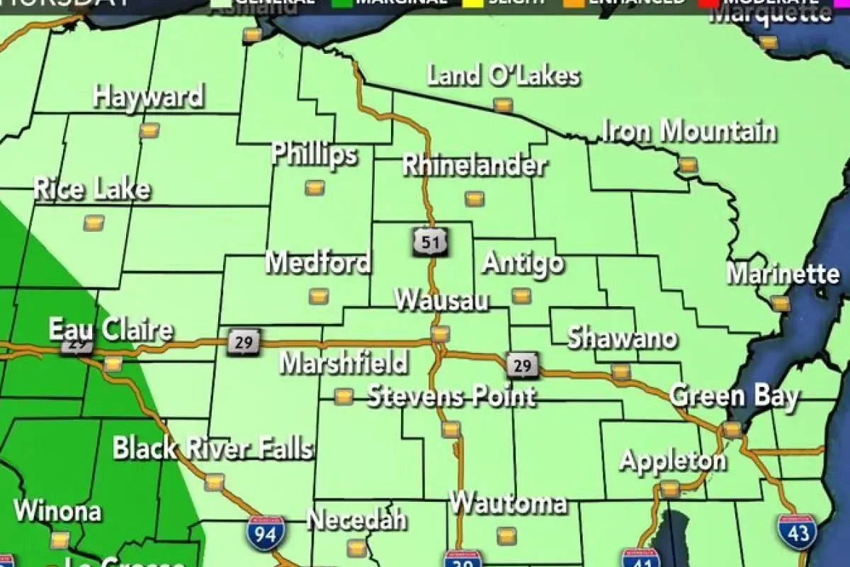
The highest threat for severe weather on Thursday remains primarily in western Minnesota and South Dakota.
Northeast Iowa and far southeast Minnesota face a low-end risk of isolated strong storms later in the afternoon.
Daytime temperatures will remain in the low 80s through Friday before climbing into the mid-80s over the weekend.
Temperatures could approach 90 degrees by next week.
>>> Bondi Attack Hero Ahmed al-Ahmed Charged with Assaulting Father
Rainfall totals across southeast Minnesota and northeast Iowa are projected to range between 0.25 and 1.00 inch.
Higher amounts are expected along and west of Interstate 35.
Friday presents the highest likelihood for regional storm development due to increased atmospheric instability following morning clearings.
Gusty winds and hail have been identified as the primary threats for Friday.
Rain is expected to wrap up by Saturday morning, leaving a mostly dry weekend.
>>> BBC Radio 2 Revamps Schedule as Bob Harris Departs Due to Health
A subsequent weather system introduces the next potential window for storms on Tuesday and Wednesday of next week.