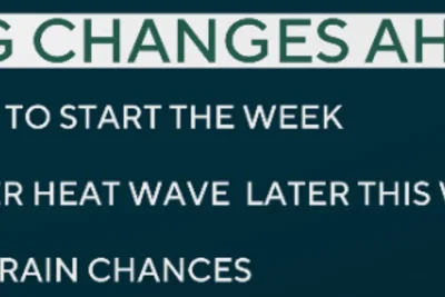
A changing monsoon pattern is moving across New Mexico as of June 3, 2026, bringing a transition toward drier and warmer conditions in major metropolitan areas while keeping isolated severe storm risks active in the southern and eastern regions.
According to data from koat.
>>> Talk Show Host Clarifies Swimming Pool Incident on Curaçao Set
com, the Albuquerque metro area experienced blowing dust ahead of a projected drying trend, with evening temperatures dropping from the upper 70s to the lower 60s.
Regional temperatures reached 84 degrees Fahrenheit in Albuquerque, 79 degrees in Roswell, and 81 degrees in Santa Fe, accompanied by wind gusts peaking at 31 miles per hour.
Warmer Weekend Ahead
The drying trend will push daytime temperatures near 90 degrees through the weekend in the Four Corners region, including Gallup and Grants, while Roswell is expected to reach 100 degrees by Monday.
>>> Over 1.3 Million BTS Fans Queue for Kuala Lumpur Tickets Amid Pricing Backlash
Meanwhile, kcbd.
com reported that moisture levels have risen significantly across eastern New Mexico and the neighboring Texas South Plains, with dewpoints nearing the 60s to fuel overnight atmospheric instability.
These developments created conditional storm chances capable of producing localized heavy rainfall, quarter-sized hail, and severe wind gusts reaching up to 60 miles per hour.
>>> Pacific Northwest Forecasters Track Developing Super El Nino Weather Pattern
Disturbances moving overhead from New Mexico are projected to lower daytime temperatures into the 70s and 80s for several communities, shifting the primary meteorological concern from severe wind threats to an elevated risk of localized flooding due to repeated rounds of rainfall.