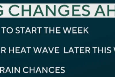
A record-breaking hot spell across the United Kingdom is forecast to break down as cooler, more unsettled weather conditions spread across the country starting Friday, May 29, 2026, according to meteorological reports.
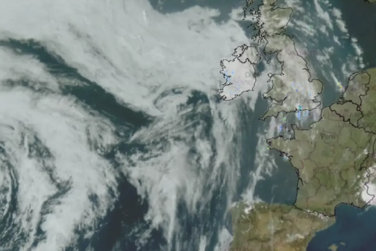
An Atlantic low-pressure system is moving in to replace the stable high-pressure system that drifted toward central Europe.
>>> Rik Mayall Comedy Festival Returns to Droitwich Spa for Nine Days
This effectively ends the stagnant southerly air mass.
Southeastern England will still experience lingering heat with temperatures reaching up to 28 degrees Celsius on Friday.
However, a band of patchy rain and cloud cover will steadily decrease temperatures nationwide over the weekend.
The shift follows a severe heatwave during the Bank Holiday period where temperatures peaked at a record May high of 35.1 degrees Celsius.
This triggered volatile thunderstorms and lightning earlier in the week.
By Sunday, a westerly flow off the Atlantic will bring fresher air and blustery showers.
Temperatures will drop down to a near-average range of 16 to 23 degrees Celsius.
Amid the intense heatwave, dangerous open-water swimming conditions resulted in tragic consequences across the country.
>>> California Eighth-Grader Shrey Parikh Wins Scripps National Spelling Bee
A teenage boy became the 11th individual to die in a water-related incident on Wednesday.
Fatalities were reported across South Yorkshire, West Yorkshire, Cornwall, Hampshire, Warwickshire, Cheshire, Pembrokeshire, Lincolnshire, and Lancashire.
Forecasters Predict Unsettled Weather Ahead
"We're now starting to see this spell of very hot weather break down," said Chris Bulmer, Met Office Chief Forecaster.
The meteorologist explained that the transition would bring unpredictable weather patterns before conditions stabilize closer to seasonal norms.
"As the heat starts to ease, the weather will also turn more changeable, with some showers and thunderstorms possible," added Bulmer.
The shifting front will continue its progression into next week, bringing much-needed relief to regions that faced tropical night temperatures.
"By the weekend, temperatures should be much closer to average for the time of year with accompanying rainfall for many through the weekend and into the start of next week," Bulmer said.
According to Netweather, northern and western areas including western Scotland and Northern Ireland will see the first cloud and rain bands on Friday.
>>> Singapore Police Warn Fans of BTS Concert Ticket Scams
England and Wales will maintain sunnier spells into Saturday morning before the main frontal system advances eastward.