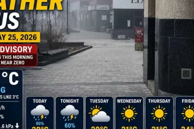
A low-pressure system and a moving warm front are bringing widespread rain, scattered thunderstorms, and potential localized flooding across Central Ohio on Saturday, May 23, 2026.
The weather system has prompted a Marginal Risk of severe weather and a Flood Watch for counties east of Ohio as heavy precipitation moves through the region.
>>> Mega Millions Jackpot Reaches $296 Million Before Friday Drawing
According to reports from WSYX and 10TV, many communities have recorded more than an inch of rain over the past 24 hours.
An additional one to two inches of rainfall is expected to accumulate through late Saturday.
The continuous downpour has saturated the ground, raising concern for rising levels in local creeks and streams.
>>> Severe Storms and Rain Threaten the Midlands This Weekend
While widespread severe weather remains unlikely, meteorologists warn that the nearby low-pressure system creates atmospheric spin.
A brief tornado cannot be completely ruled out between 2 PM and 8 PM.
Temperatures will remain mild, with an overnight low of 61 degrees.
>>> Chemical Tank Crisis Forces Thousands to Evacuate in Orange County
Sunday afternoon highs are expected to reach 80 degrees as a secondary cold front introduces another round of scattered storms.