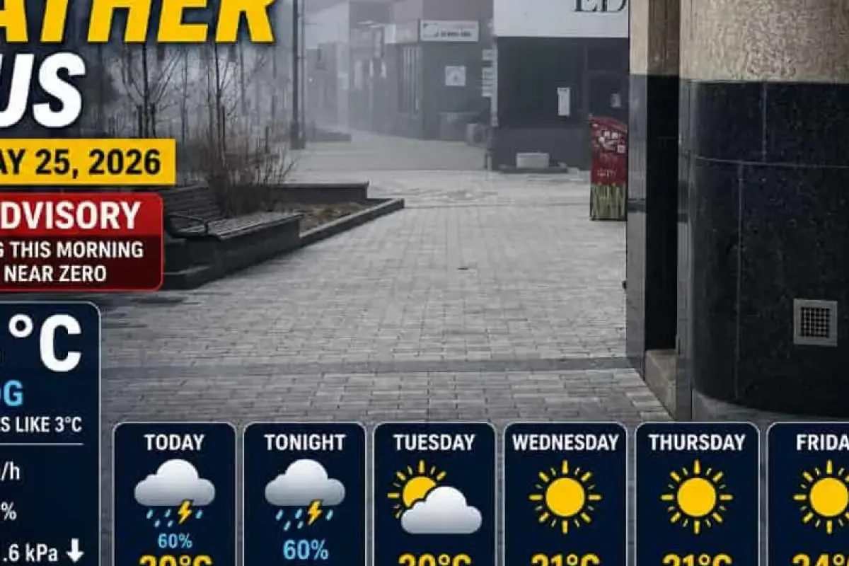
Environment Canada issued a Yellow Fog Advisory for Thunder Bay on Monday, May 25, 2026, as dense fog reduced visibility to near zero across several areas during the early morning hours.
Weather instruments at 7:00 AM EDT recorded a temperature of 3.4 degrees Celsius with 100 percent humidity.
>>> Severe Weather Outbreaks Batter Michigan Infrastructure and Economy
East winds were blowing at 9 kilometers per hour, and visibility was restricted to 0.4 kilometers.
Fog to Lift Later Monday
The meteorological agency reported that the localized fog patches would dissipate later Monday morning.
Some moisture could linger into the early afternoon before transitioning into a mix of sun and clouds.
Local forecasts indicate a 60 percent chance of showers alongside a late afternoon thunderstorm risk. The UV index is expected to reach a high level of 7.
Unsettled conditions will persist into Monday night with a 60 percent chance of evening showers and potential thunderstorms.
>>> Schiphol Airport Faces Security Delays and Flight Cancellations After Contractor Restructuring
The overnight low is expected to drop to 10 degrees Celsius before clearing on Tuesday.
Transition from Cooler Pattern
The current weather pattern marks a transition from earlier conditions on May 20, 2026.
At that time, a high-pressure system stabilized the region but kept morning temperatures near 1.0 degree Celsius due to cold air over Lake Superior.
The thermal influence of Lake Superior consistently delays spring warming in shoreline communities compared to inland Northwestern Ontario.
>>> Historic Masonic Lodge Meeting Held at Scarborough Hospice
Regional water temperatures remain dangerously low well into May and June.