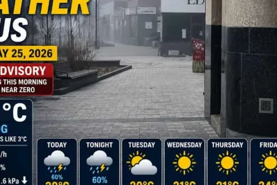
Metro Detroit is bracing for a shift in weather patterns this Memorial Day weekend, with rain and potential thunderstorms expected before warmer conditions settle in next week.
According to a report from Friday, May 22, 2026, cool and dry conditions will persist during the daytime on Friday, though cloud cover and wind gusts exceeding 25 mph will keep afternoon temperatures in the 60s.
>>> Robert Harward Fox News Appearance Sparks Online Prosthetic Mask Theories
Wet weather is forecast to arrive late Friday night and intensify into Saturday morning, bringing localized rainfall totals of an inch or more to areas from Monroe to Port Huron.
The heavy rain may cause localized ponding on roads and reduced visibility, potentially delaying travelers heading out for early holiday plans.
Weekend Outlook
Scattered thunderstorms are possible on Saturday afternoon and late Sunday evening, particularly for attendees of the Movement festival, though periods of dry weather are expected in between.
>>> NWS Issues Severe Weather Safety Guidelines for Central NC
Temperatures will gradually rise into the 70s over the weekend despite the unsettled conditions and storm potential.
Memorial Day is projected to feature the most favorable weather of the holiday weekend, with partly sunny skies and temperatures approaching 80 degrees.
The improved conditions will support local parades, outdoor gatherings, barbecues, and area pool openings following the cooler weather earlier in the week.
>>> Severe Rain and Storms Threaten Cincinnati Memorial Day Weekend
Summerlike heat and humidity are expected to return to Southeast Michigan by Tuesday and Wednesday, with afternoon highs climbing back into the 80s.