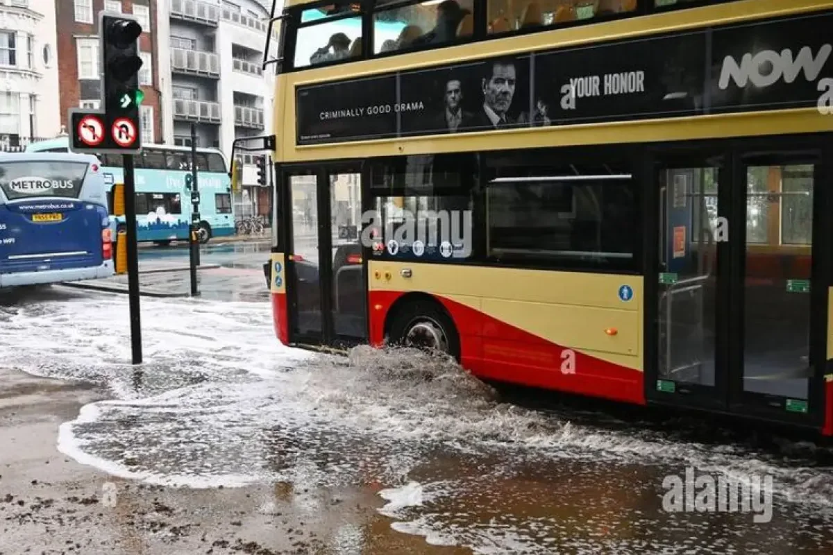
A new round of storms moving through Southeast Texas on Thursday, May 21, 2026, threatens to dump heavy rain on communities south of Interstate 10 that are already saturated from earlier downpours.
Forecasters warned that southern Brazoria County, particularly near Angleton and Lake Jackson, remains highly vulnerable to additional precipitation.
>>> Flooding Risks Escalate in Austin Following Intense Overnight Storms
According to Space City Weather, most of the Houston metropolitan area has manageable rainfall totals between 1 and 3 inches since the late May storms began on Tuesday.
However, specific locations south of the city have already been hit with 6 to 8 inches of rain during the same period.
A large mass of showers and thunderstorms detected near Victoria and Port Lavaca on Thursday morning is projected to move northeastward.
High-resolution meteorological guidance indicates these storms will remain largely confined to areas south of Interstate 10 before exiting east by the early afternoon.
Coastal areas could see rain accumulations of 1 to 3 inches, though forecasters express hope that the heaviest totals will occur just offshore.
The rest of the Houston area can expect more scattered showers and thunderstorms later in the afternoon under mostly cloudy skies, with daytime temperatures hovering in the upper 70s to lower 80s.
Friday is expected to bring a temporary break from organized storm systems, with rain chances dropping to about 50 percent as scattered showers develop.
>>> National Weather Service Issues Massive Texas Flood Watch for Holiday Weekend
High temperatures will remain near 80 degrees under mostly cloudy conditions before a more volatile upper-air pattern arrives for the holiday weekend.
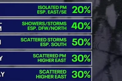
A low-pressure system will allow multiple atmospheric disturbances to pass over the region, driving rain chances to near 100 percent on Saturday and Sunday.
Most of the region is projected to pick up an additional 3 to 6 inches of rain through Monday, with higher isolated totals likely to cause street flooding and potential flash flooding.
Space City Weather reported that a Stage 2 flood alert will remain active through the Memorial Day holiday weekend due to these risks.
While exact timing remains uncertain, residents are advised to prepare for mobility disruptions where rainfall becomes prolonged, though widespread mayhem is not anticipated.
Daily rain chances are projected to continue at around 50 percent into next week, according to early forecast models.
>>> Italian Police Halt Mick Jagger Party Over Wednesday Music Ban
However, meteorologists expect total rainfall amounts to begin trending downward after Monday, while high temperatures persist in the 80s.