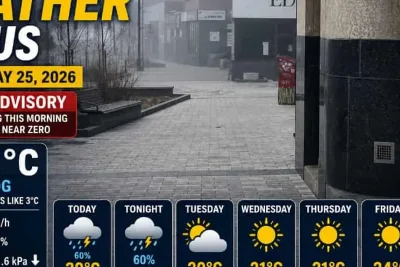
Multiple waves of showers and thunderstorms are tracking across Oklahoma from Wednesday night through Saturday, bringing much-needed moisture to drought-affected areas, according to regional meteorologists.
Precipitation totals are expected to average near 1.5 inches in the metropolitan area, with overall regional accumulations ranging from 0.60 to 1.75 inches.
>>> Survivor 50 Winner Faces Over $800,000 Tax Bill on $2 Million Prize
Storm Timeline and Risks
The initial storm waves through Thursday night carry a minimal risk of severe weather, though some heavy downpours may produce pea-sized hail.
A brief respite in precipitation is expected Thursday evening before a warm front arrives on Friday, introducing a more humid airmass to the region.
>>> Survivor Franchise Crowns 47 Unique Winners in 25 Years
A secondary wave of storms will develop late Friday evening and persist into Saturday morning, carrying a slight risk of severe weather for western and northwestern counties.
The primary threats with the Friday night system include large hail and damaging winds.
>>> Former Inmate Says Mackenzie Shirilla Was Prison 'Mean Girl,' Not Remorseful
Temperatures will recover to near-average highs in the low to mid-80s by the weekend.