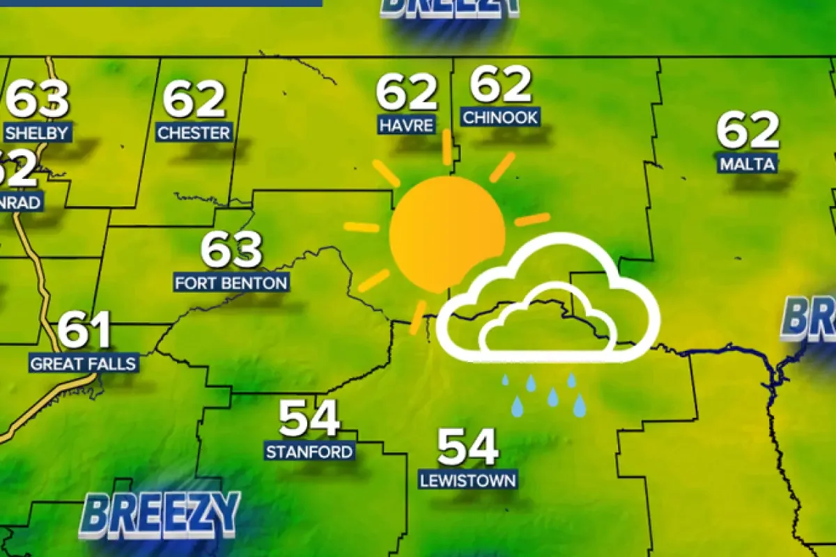
A cool Canadian storm system is moving through Montana from north to south, bringing valley rain, thunderstorms, and significant mountain snow.
According to weather reports from KPX, KRTV, and KBZK, a cold front and low-pressure area are producing scattered showers across the state.
>>> Mick Jagger to Play Lighthouse Keeper in Alice Rohrwacher's New Film
A winter storm warning is in effect for the Absaroka and Beartooth mountains through 6 p. m.
Thursday, while a winter weather advisory impacts the Bighorn and Pryor mountains from 3 a. m.
to 9 p. m.
Thursday.
Forecasters from KRTV report that the mountains in southern Montana and Wyoming could receive up to a foot of snow, which may delay the scheduled Friday opening of the Beartooth Highway.
Low temperatures are expected to drop into the 30s and low 40s, with snow levels falling to approximately 5,000 feet around Helena.
Precipitation amounts will vary across the region, with central Montana potentially receiving over 0.25 inches of moisture through Thursday evening.
Conversely, north-central Montana locations are projected to receive less than 0.1 inches of precipitation, while the mountains generally expect a coating to a couple inches of accumulation.
>>> Hybrid Car Explodes Into Fireball in Lower Manhattan During Rush Hour
As reported by KBZK, most of the wet weather will exit the region by Thursday afternoon.
A building high-pressure ridge will then develop on Friday, initiating a period of clear, dry, and significantly warmer conditions across the state through Monday.
Temperatures will rise rapidly during the four-day holiday period, starting with highs in the mid-60s to low 70s on Friday.
According to KRTV, temperatures will reach the 70s and low 80s on Saturday, up to the mid-80s on Sunday, and peak in the 80s to low 90s by Monday.
Winds are expected to increase over the weekend, with sustained speeds between 10 and 25 mph on Sunday and Monday, and gusts occasionally approaching 40 mph.
Officials advise that while air temperatures will be warm, regional water bodies remain cold and fast-moving due to ongoing snowmelt.
The dry spell will end on Tuesday as an upper-level trough moves into the state, bringing increased cloud cover and scattered afternoon thunderstorms.
>>> Stalling Cold Front Brings Prolonged Rainfall to Carolinas
Weather reports indicate that this disturbance will continue into Wednesday, cooling temperatures back down into the 60s and 70s for most areas.