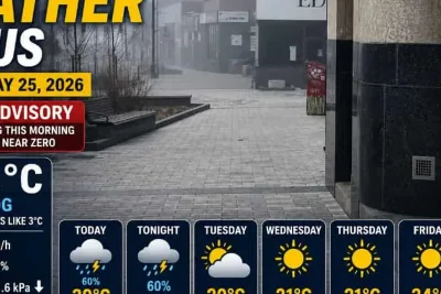
A slow-moving cold front arriving from the northwest on Thursday, May 21, 2026, is set to bring a prolonged period of scattered showers and thunderstorms across the Western Carolinas and the Piedmont Triad region.
The front ends a recent stretch of hot, dry conditions and delivers much-needed precipitation to ease regional drought, according to reports from FOX Carolina and WGHP.
>>> US Restricts Flights and Ramps Up Aid Amid Africa Ebola Outbreak
Rainfall and Temperature Outlook
Meteorologists project cumulative rainfall totals could exceed two inches in some areas by late Wednesday night.
The cold front is expected to push southward and stall over South Carolina, locking high moisture levels into the region.
Thursday afternoon brings an 80% chance of rain, with afternoon high temperatures peaking in the mid-to-upper 80s before a cooling trend takes effect.
>>> Tennessee Execution of Tony Carruthers Proceeds Amid Drug Potency Concerns
Friday temperatures will drop significantly behind the front, with the Upstate reaching the mid-to-upper 70s and the Piedmont Triad experiencing highs in the mid-to-upper 60s.
Muggy conditions will persist despite the cooler air, keeping rain chances between 60% and 80% through the upcoming weekend.
Unsettled weather will continue through the Memorial Day holiday on Monday, bringing successive waves of precipitation alongside brief intervals of sunshine.
>>> University of Michigan Student Sues Over Pro-Palestinian Protest Surveillance
Daily chances for scattered showers and thunderstorms are forecast to linger well into the following work week.